














What El Niño is
El Niño is a stripe of unusually warm ocean water along the equator in the Pacific. In a normal year, trade winds blow that warm surface water west, toward Asia. Every few years the winds weaken, the warm water sloshes back east toward South America, and a band of ocean thousands of miles long runs a few degrees hotter than it should. That is the whole phenomenon. It shows up clearly on a satellite map:

Why does warm water 4,000 miles away change winter in Colorado? Because that much extra ocean heat pumps enormous amounts of moisture and energy into the atmosphere above it, and that energy bends the jet stream, the river of fast-moving air that steers storms across North America. During El Niño winters, the Pacific jet stream extends and drops south. Storms that would normally slam Washington and British Columbia get routed through California, Arizona, New Mexico, and southern Colorado instead. NOAA's standard map of an El Niño winter shows the setup:

Look at where Colorado sits on that map: right on the seam between "wetter" to the south and "warmer" to the north. That seam is the whole story of this winter. Move it 50 miles north or south in any given storm and Wolf Creek gets buried while Steamboat gets sun, or Denver gets rain while Colorado Springs gets a foot.
What makes this one "super"
Forecasters grade El Niño by how far above normal that equatorial water runs, measured in a patch of the Pacific called Niño 3.4. Half a degree Celsius above normal counts as El Niño. Above 1.5°C is strong. Above 2.0°C is the unofficial "super" tier, reached only five times since good records began: 1972-73, 1982-83, 1997-98, 2015-16, and 2023-24.
Where this year's event stands, per NOAA and the international model ensemble:
- NOAA upgraded its El Niño Watch to a full El Niño Advisory in June 2026: the event is no longer forecast, it is underway.
- 23 of 26 forecast models expect it to cross the +2.0°C super threshold at its October-through-December peak.
- Several model runs push past +3.0°C, which no El Niño has ever reached in roughly 150 years of records. 1997-98 and 2015-16, the two biggest events ever measured, peaked around +2.4°C.
- The odds it lasts through early spring 2027: about 97%.
Strength matters because it buys reliability. A weak El Niño nudges the storm track and hopes; a super El Niño grabs it. The three previous super events all produced recognizably "El Niño" winters in Colorado, and this one is forecast to be stronger than any of them. It still is not a guarantee. The Colorado Climate Center has cautioned for years that our distance from the ocean and complicated terrain mean no climate pattern controls this state outright. But as winter forecasts go, the dice have never been loaded this heavily.
Why last winter felt broken
If this past winter felt wrong to you, the data agrees. Winter 2025-2026 was the warmest ever recorded in Colorado, with December through February running 8.4°F above the 20th-century average. December 2025 alone set more than 1,000 daily high temperature records across the state. Snowfall came in under 60% of average for most of Colorado, the NRCS measured record-low snowpack heading into 2026, and the rivers ran at 50 to 75% of normal. Then summer 2026 kept going: Denver just logged its warmest January-through-July stretch since records began in 1872.
That winter happened under La Niña, El Niño's cold-water opposite, which pushes the storm track north of Colorado and leaves the southern half of the state dry. The Pacific has now flipped hard the other way. The flip does not undo the warmth, and we will get to that, but it completely changes where the moisture goes.
Denver and the Front Range: quiet stretches, then haymakers
Denver's El Niño winters run mild and dry for weeks at a time, then produce a storm big enough to shut the city down. The seasonal totals end up above average, but they arrive in three or four huge installments instead of steady weekly refreshes.
The mechanism is called an upslope storm, and it works like this. Denver sits at the base of a mile-high wall. Most weather crosses the mountains from the west and arrives in the metro dried out. But when a storm parks itself near the Four Corners, its winds spin counterclockwise, which drags moist air from the plains back westward, into the foothills. That air has nowhere to go but up, and rising air cools and dumps its moisture as snow. The Front Range's biggest snows come from the east, off the plains, and El Niño parks storms in exactly the spot that drives that east wind.
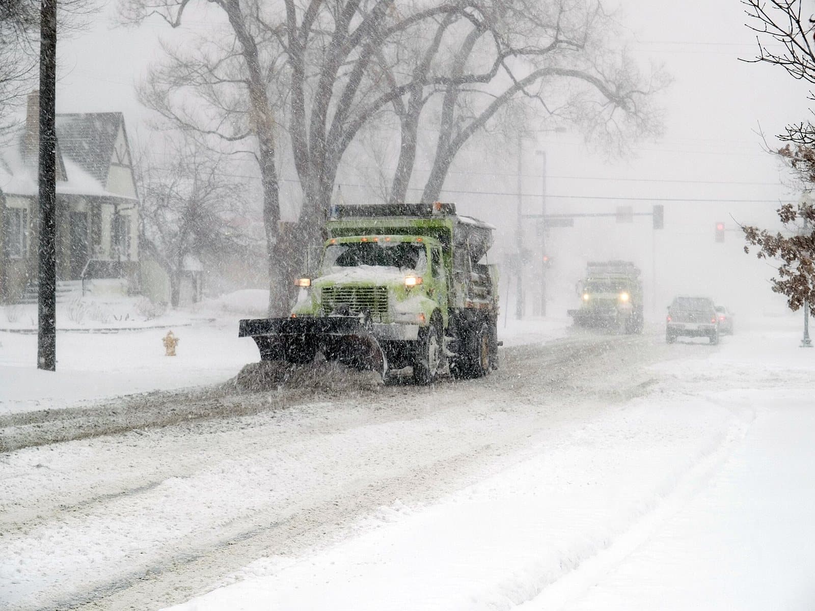
The super El Niño track record in Denver: in October 1997, a single storm dropped 21.9 inches at DIA and stranded 4,000 travelers, and that winter finished with 72.1 inches of snow, about 15 above average. The 2015-16 event produced 72.8 inches, including the March 2016 blizzard that set a 24-hour March record at 13.1 inches. The December 1982 blizzard that closed Stapleton for days came during a super El Niño too. Two of the biggest storms in Denver history happened during the two biggest El Niños of the last century, and both were textbook upslope setups.
Timing: El Niño's influence on the Front Range is strongest in October, November, March, and April, when the southern storm track and available moisture line up best. Do not judge this winter by a mild December. The pattern can look asleep for six weeks and then drop two feet in a weekend, and the odds of at least one storm like that are as high as they get.
Steamboat and Winter Park: the coin flip
The El Niño signal does the least for this part of the state. Steamboat's champagne powder is built on northwest flow: storms diving southeast out of the Gulf of Alaska that hit the Park Range square in the face. El Niño's signature move is bending that exact storm track south, away from them. In OpenSnow's early look at this winter, the northern and central mountains west of the Divide, meaning Steamboat, Vail, and the Summit County resorts, get no clear signal in either direction, with the main risk being a storm track that stays south for too long.
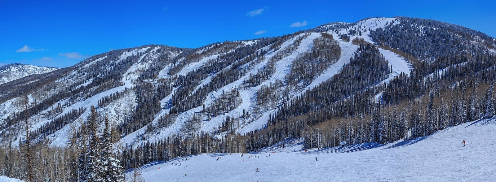
History is mixed, though. The 1997-98 super El Niño still delivered a solid Steamboat season even while several I-70 resorts ran below average, and the biggest El Niño storms carry enough moisture to clip the northern ranges on their way through. Steamboat and the Vail-Summit corridor can still have a good year. They are simply the one part of Colorado this pattern does nothing to help.
Winter Park is the exception up north. It sits on the Continental Divide, so it catches storms from both sides: leftovers from the west, and upslope moisture riding up from the east during the same Four Corners setups that bury Denver. Mary Jane on a deep upslope day is some of the best skiing in the state, and El Niño winters produce more of those days, not fewer. The same goes for Eldora and Loveland, the other resorts hugging the Divide. If you hold a pass in the northern half of the state, east-facing terrain is your hedge this year.
Wolf Creek and the San Juans: the jackpot zone
The southern mountains are the clearest winners in a strong El Niño. When the jet stream drops south, subtropical storms loaded with Pacific moisture cross Arizona and New Mexico, and the San Juans are the first serious wall they hit. All that moist air gets forced up 14,000-foot terrain at once, and it unloads.
Wolf Creek already claims the most snow in Colorado, around 430 inches in an average year. In strong El Niño winters the analog seasons run roughly 15 to 40% above that, an extra 100 to 150 inches. Purgatory, Silverton, and Telluride sit in the same favored zone, and OpenSnow's early outlook extends the above-average lean across the southern and eastern mountains generally. If you are pointing one ski trip anywhere in the Rocky Mountain West this year, this is the region.
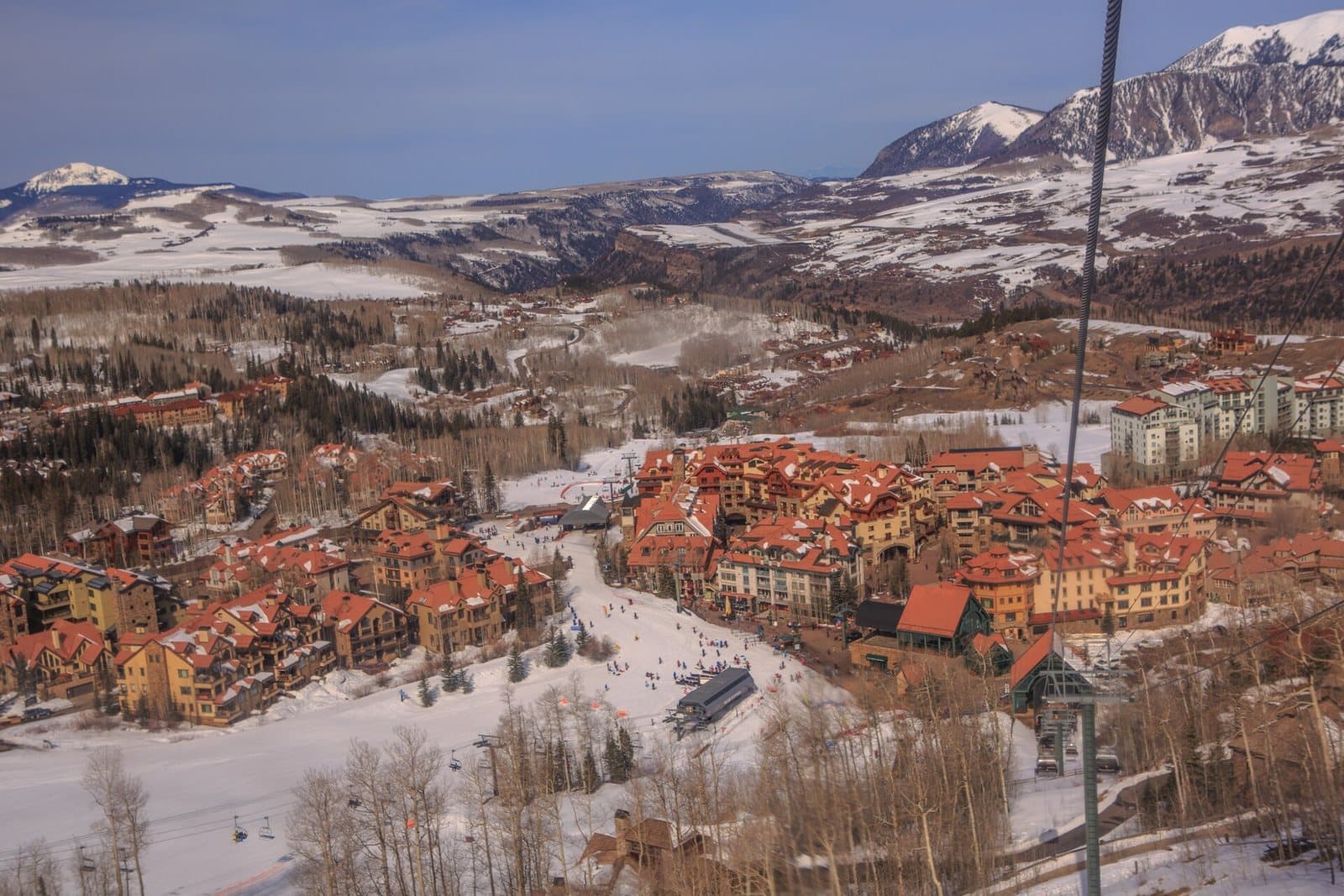
The Four Corners region as a whole shares in this. The same storms that feed the ski areas bury Durango, Pagosa Springs, and Cortez, close Wolf Creek Pass, and refill the Animas and San Juan river basins that just limped through a record-bad snow year. After the winter this region just had, a wet pattern here is a water-supply event, not just a powder forecast.
More snow is not better snow
Every historical comparison in this article, 1982-83, 1997-98, 2015-16, happened on a cooler planet. This El Niño is arriving on top of a warming trend that just handed Colorado its hottest winter and its hottest start to a year on record. The storms are coming. What falls out of them, and at what elevation, is the open question.
Three specific things to expect:
- A higher rain-snow line. Warmer storms push the elevation where rain turns to snow uphill. Denver sits at 5,280 feet, low enough that a marginal storm can start as rain and end as heavy, wet snow, the kind that snaps tree limbs and power lines. The high resorts, almost all with base areas above 8,000 feet, are far better protected. This is Colorado's structural advantage over Tahoe and the Pacific Northwest, where whole seasons increasingly drown in rain.
- Denser, heavier snow down low. The 5% moisture blower powder Colorado markets itself on is a cold-storm product. Warm subtropical storms run 10 to 15% moisture. One foot of it holds as much water as two or three feet of fluff, which is excellent for snowpack and reservoirs, but it skis heavier, shovels much heavier, and sets up like concrete overnight.
- A back-loaded season with midwinter thaws. The last strong El Niño, 2023-24, ran below-normal snowpack from November through January, then caught up fast and finished above normal by mid-March. Super El Niño seasons lean late. Expect January warm spells that look like the pattern failed, then a February and March that rewrite the season.
In short: the high country, especially down south, should hold quality. The Front Range gets volume with no promise of quality, and lower-elevation towns on the Western Slope land in between.
How to plan around it
These are odds, not promises. But this is how they stack by region:
| Region | Snowfall lean | Details |
|---|---|---|
| Denver & Front Range | Above average, delivered in a few big storms | |
| Divide resorts (Winter Park, Eldora, Loveland) | Slightly above average | |
| Northern mountains (Steamboat, Vail, Summit) | No clear signal | |
| Southern mountains & Four Corners (Wolf Creek, Purgatory, Telluride) | 15-40% above average in analog years |
Two travel notes. First, the road that matters most for southern trips is Wolf Creek Pass on US 160, and in a big San Juan winter it closes more often; build slack into drive days. Second, I-70 through the mountains tends to see fewer closure-scale storms in El Niño years than in northwest-flow years, but the handful of upslope events that do hit the Divide can be the worst driving days of the winter.
What a swing winter does to your house
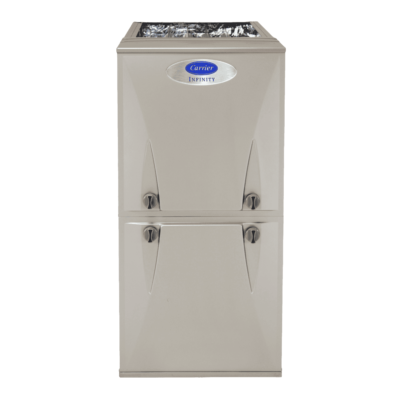
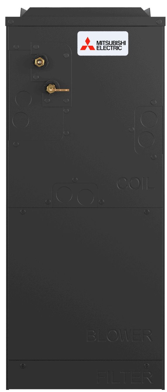
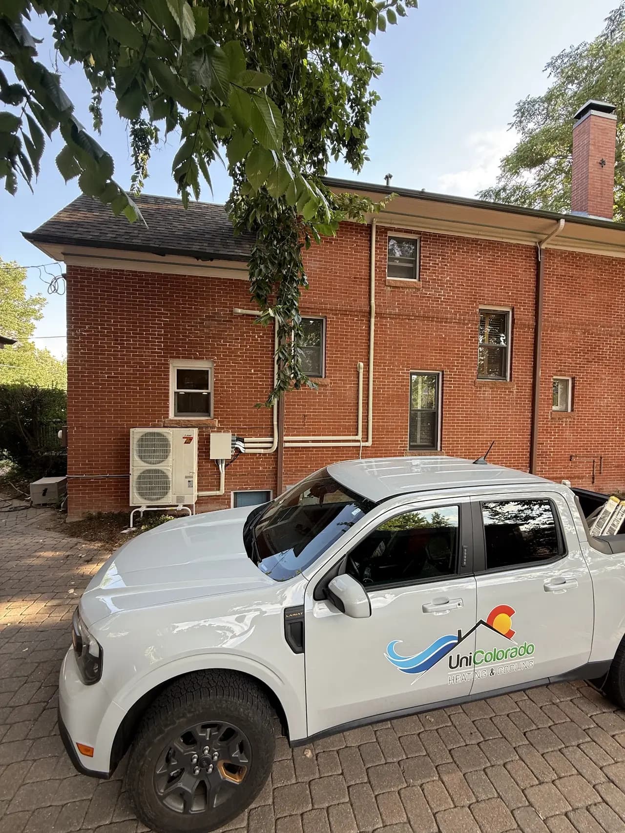
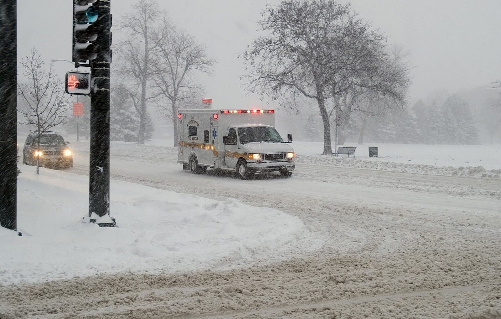
We are an HVAC company, so here is the one homeowner-facing thing this forecast changes. A super El Niño winter on the Front Range is a swing winter: 60-degree afternoons in January, then a two-foot upslope storm with single-digit nights, then back to mild. That whiplash is exactly the load profile that exposes a heating system on its last legs. Furnaces that limp through steady cold die on the first hard swing, and they do it on the coldest night of the storm, when every HVAC company in the metro has a 48-hour backlog.
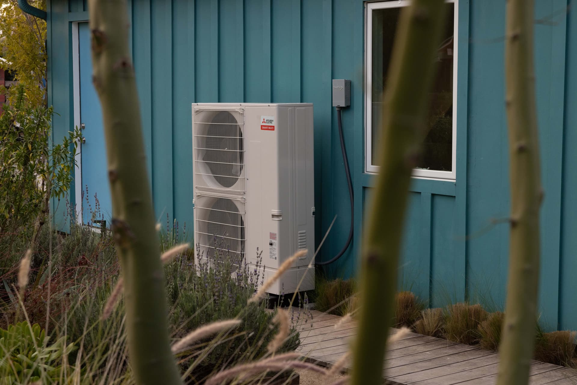
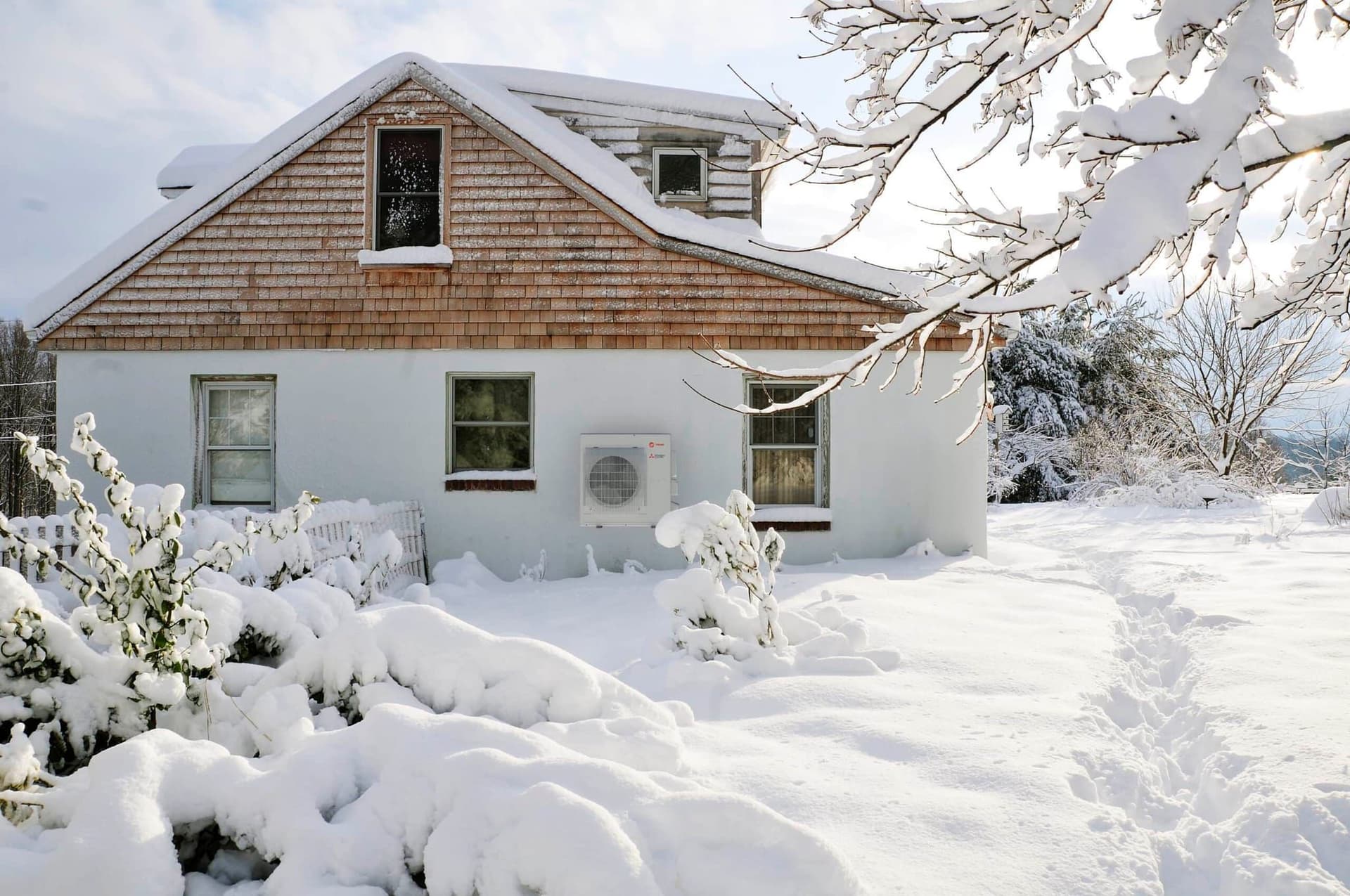
It is also the pattern modern equipment is built for. Cold climate heat pumps rated to -13°F handle the single-digit storm nights, and they earn their keep on the mild in-between weeks, when they heat at their highest efficiency instead of short-cycling a furnace. If your system is on the borderline, the time to deal with it is a mild October week, not the morning after the first blizzard.

Get Ahead of the First Storm
If your heating system struggled last winter, have it looked at before the pattern turns. We install cold climate systems built for exactly this kind of swing winter, and fall install slots go fast once the first storm hits the forecast.