










Lakewood weather
As of 1:43 AM Mountain

Clear
The outlook
A Red Flag Warning is in effect until 4 PM today for critical fire weather conditions. Expect strong winds this morning, with gusts of 40 to 50 miles per hour possible in wind-prone areas near the foothills. Conditions will be clear and drier through Friday.
West metro, the last flat ground before the foothills.
Overnight
into the morning
Clear
Tomorrow
Thu

Mostly cloudy
Fri

Clear · milder
Rest of the week
Sat–Wed
Holding steady
13-day outlook
Open a day for the temperature range and source readings.
Further ahead
WeatherNext ensemble only. More room for change.
TodayNov 19Low 29°High 53°Precipitation 0%Mostly cloudy
- Overnight low
- 25° to 33°
- Daytime high
- 49° to 58°
Middle 80% of the 64-member WeatherNext ensemble.
Chance of precipitation
0% blendedProviders use different precipitation thresholds. These estimates show their disagreement; the displayed chance is a weighted blend.
FriNov 20Low 36°High 60°Precipitation 0%Clear
- Overnight low
- 30° to 42°
- Daytime high
- 55° to 64°
Middle 80% of the 64-member WeatherNext ensemble.
Chance of precipitation
0% blendedProviders use different precipitation thresholds. These estimates show their disagreement; the displayed chance is a weighted blend.
SatNov 21Low 31°High 47°Precipitation 42%Chance of precipitation

- Overnight low
- 27° to 36°
- Daytime high
- 42° to 51°
Middle 80% of the 64-member WeatherNext ensemble.
Chance of precipitation
42% blendedProviders use different precipitation thresholds. These estimates show their disagreement; the displayed chance is a weighted blend.
Ensemble mean precipitation: 0.06 in. A few wet members can lift this mean even when most stay dry.
SunNov 22Low 24°High 46°Precipitation 0%Partly cloudy
- Overnight low
- 20° to 28°
- Daytime high
- 39° to 52°
Middle 80% of the 64-member WeatherNext ensemble.
Chance of precipitation
0% blendedProviders use different precipitation thresholds. These estimates show their disagreement; the displayed chance is a weighted blend.
MonNov 23Low 26°High 45°Precipitation 5%Mostly cloudy
- Overnight low
- 20° to 30°
- Daytime high
- 36° to 52°
Middle 80% of the 64-member WeatherNext ensemble.
Chance of precipitation
5% blendedProviders use different precipitation thresholds. These estimates show their disagreement; the displayed chance is a weighted blend.
Ensemble mean precipitation: 0.01 in. A few wet members can lift this mean even when most stay dry.
TueNov 24Low 26°High 43°Precipitation 5%Partly cloudy
- Overnight low
- 22° to 30°
- Daytime high
- 32° to 51°
Middle 80% of the 64-member WeatherNext ensemble.
Chance of precipitation
5% blendedProviders use different precipitation thresholds. These estimates show their disagreement; the displayed chance is a weighted blend.
Ensemble mean precipitation: 0.01 in. A few wet members can lift this mean even when most stay dry.
WedNov 25Low 26°High 48°Precipitation 5%Mostly cloudy
- Overnight low
- 20° to 32°
- Daytime high
- 35° to 59°
Middle 80% of the 64-member WeatherNext ensemble.
Chance of precipitation
5% blendedProviders use different precipitation thresholds. These estimates show their disagreement; the displayed chance is a weighted blend.
ThuNov 26Low 32°High 48°Precipitation 5%Mostly cloudy
- Overnight low
- 25° to 41°
- Daytime high
- 40° to 56°
Middle 80% of the 64-member WeatherNext ensemble.
Chance of precipitation
5% blendedProviders use different precipitation thresholds. These estimates show their disagreement; the displayed chance is a weighted blend.
Ensemble mean precipitation: 0.04 in. A few wet members can lift this mean even when most stay dry.
FriNov 27Low 30°High 50°Precipitation 5%Partly cloudy
- Overnight low
- 23° to 35°
- Daytime high
- 39° to 61°
Middle 80% of the 64-member WeatherNext ensemble.
Chance of precipitation
5% blendedProviders use different precipitation thresholds. These estimates show their disagreement; the displayed chance is a weighted blend.
Ensemble mean precipitation: 0.01 in. A few wet members can lift this mean even when most stay dry.
SatNov 28Low 31°High 54°Precipitation 0%Partly cloudy
- Overnight low
- 21° to 39°
- Daytime high
- 41° to 66°
Middle 80% of the 64-member WeatherNext ensemble.
Chance of precipitation
0% blendedProviders use different precipitation thresholds. These estimates show their disagreement; the displayed chance is a weighted blend.
SunNov 29Low 33°High 54°Precipitation 5%Partly cloudy
- Overnight low
- 23° to 43°
- Daytime high
- 46° to 64°
Middle 80% of the 64-member WeatherNext ensemble.
Chance of precipitation
5% blendedProviders use different precipitation thresholds. These estimates show their disagreement; the displayed chance is a weighted blend.
Ensemble mean precipitation: 0.01 in. A few wet members can lift this mean even when most stay dry.
MonNov 30Low 31°High 47°Precipitation 25%Chance of precipitation
- Overnight low
- 24° to 38°
- Daytime high
- 35° to 56°
Middle 80% of the 64-member WeatherNext ensemble.
Chance of precipitation
25% blendedProviders use different precipitation thresholds. These estimates show their disagreement; the displayed chance is a weighted blend.
Ensemble mean precipitation: 0.05 in. A few wet members can lift this mean even when most stay dry.
TueDec 1Low 27°High 45°Precipitation 5%Mostly cloudy
- Overnight low
- 19° to 34°
- Daytime high
- 38° to 55°
Middle 80% of the 64-member WeatherNext ensemble.
Chance of precipitation
5% blendedProviders use different precipitation thresholds. These estimates show their disagreement; the displayed chance is a weighted blend.
Ensemble mean precipitation: 0.03 in. A few wet members can lift this mean even when most stay dry.
Days 8 and beyond show the likely direction and will shift as they get closer. Temperature confidence follows the ensemble spread: three pips within about 5°F, one beyond 10°F.
Storm tracker
Live radar
Radar by RainViewer · 7-day precipitation forecast by Open-Meteo · basemap OpenFreeMap. Radar covers the past two hours plus a 30-minute nowcast; the 7-day layer is a precipitation forecast.
Right now
Conditions
- Wind
- mph S
- Humidity
- Pressure
- UV index
- 0Low
- Visibility
- 6 mi
- Dew point
- 31°
Next hour
Minute-by-minute
No precipitation expected in the next hour.
Sun & Moon
Light of day

sunrise
6:48 AM

sunset
4:42 PM
Daylight
9 hr 55 min

Moon
Waxing Gibbous
2026 is running 6.1° warmer than the archive average so far.
This heating season is running 36% milder than normal so far.
The warmest November 18 since 2017 reached 69°, in 2020.
On November 18, Lakewood normally reaches 52°.
Climate
How today compares with past years
Open-Meteo archive, 2017–2026
This season's pace
A running total of heating and cooling demand in degree-days, measured against the multi-year average. It is a sum of degrees, not a count of days.
Heating degree-days· Since Oct 1
558(-36% vs normal)
Cooling degree-days· Since May 1
1,051(+53% vs normal)
Year to date
+6.1°warmer than the archive average
The year in temperature
2017–2026 avgAverage temperature each month, with heating and cooling degree-days, averaged across these years. This month is outlined.
November 18, across the years
2017–2026Each bar is November 18 only: observed low at the bottom, high at the top. Accent fill is 2026 (today’s forecast). Dashed lines are the archive’s typical high/low for that date.
Legend
- Frosted bars = other years
- Solid accent = 2026 (today’s forecast)
- Accent dashes: avg high (November 18, archive mean).Neutral dashes: avg low for the same date.
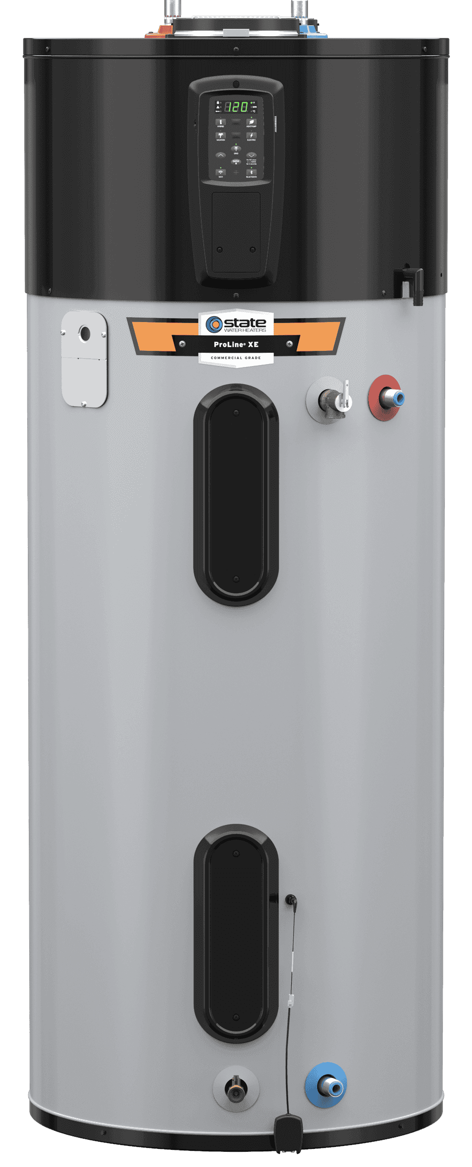
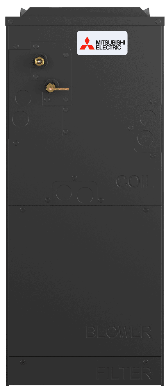
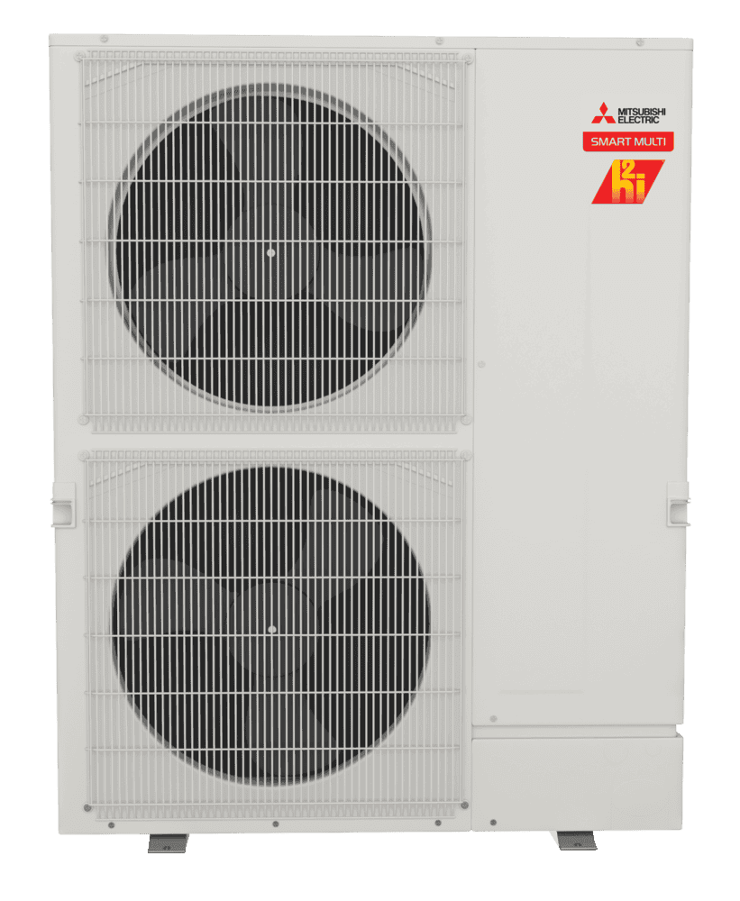
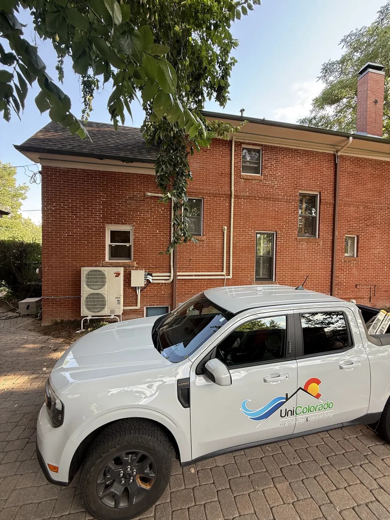
Heat pump, furnace and AC installation in Lakewood
WeatherNext 3 run initialized Tue 5 PM Denver time (8.7 h old; Google publishes each run about 7 hours after it starts). Its forecasts are experimental and are not official warnings; NWS alerts always take precedence.
UniColorado installs heat pumps, furnaces, AC, and electrical across Lakewood and the Denver metro.